

Learning, social and lifestyle Travel and navigation app for iPhone
iHikeGPS
by James Associates Inc.
- Price
- $4.99
- Platforms
- iPhone
- Requires
- iOS 12.0+
- Updated
- 24 Apr 2026



Overview
From the developer's App Store description:
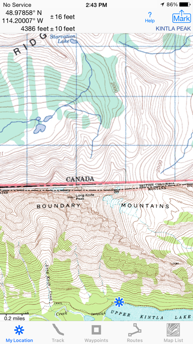
Unleash the navigation potential of your iPhone or iPad with iHikeGPS! Turn your device into a high-performance GPS receiver equipped with USGS, US Forest Service & Canadian topo maps. These Classic topo map quads often have valuable back country details that vector maps in other hiking apps don't show. Even in remote areas with no cell signal, iHikeGPS ensures you always know where you've been, where you are, and where you’re going.
iHikeGPS is a travel and navigation app by James Associates Inc. for iPhone. It needs iOS 12.0 or later.
Price and purchases
iHikeGPS costs $4.99 on the App Store.
Price from the App Store, checked 12 Nov 2026. Prices and purchases change; check the App Store before you buy.
Facts
- Price
- $4.99
- Requires
- IOS 12.0 or later
- Version
- 9.6.9
- Last updated
- 24 Apr 2026
- Size
- 13 MB
- Age rating
- 4+
- First released
- 12 Feb 2010
- App Store category
- Navigation
- Also listed in
- Travel
- Rating count
- 60 ratings on the App Store
From the App Store listing, checked .
What's new in version 9.6.9
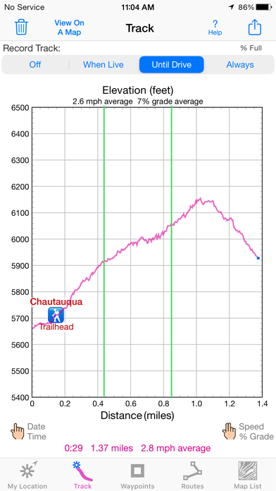
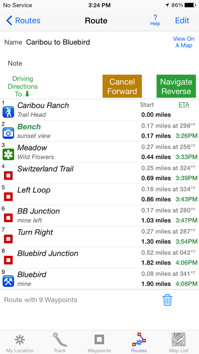
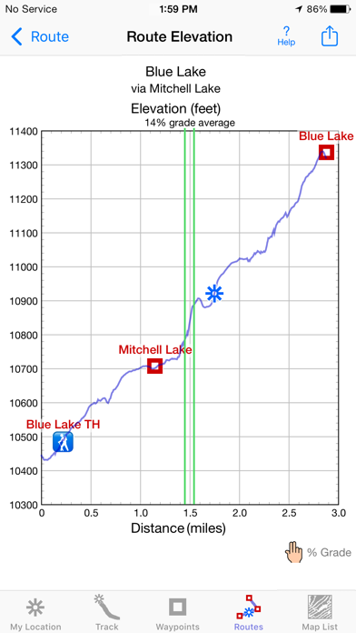
Improved wording on some Alerts and Notifications. What's new in iHikeGPS compared with other available USA topo map apps? • Real Navigation Power: Unlike other apps that simply display waypoints and routes on a map, iHikeGPS empowers you to do real navigation to those waypoints and along those routes while receiving crucial information such as Estimated Time of Arrival, current bearing, and remaining distance and elevation gain to intermediate and final destinations. Use iHikeGPS when you are on the trail and away from cell service. For your safety on the trail it always works no matter where you are hiking without requiring an Internet connection. • You can view elevation graphs of your Tracks and Routes with Waypoints, speed and % grade shown on them. • You can create, import, edit, and navigate both on routes based on a recorded or imported path, and on routes based on a series of waypoints. • There is never any confusion over what maps you have available offline. They are clearly listed and shown on an overview map. • iHikeGPS's code size is kept very small by efficient programming so in an emergency, you can download it easily even over a weak cell connection. …
From the developer's App Store release notes.
Alternatives to iHikeGPS
Other travel and navigation apps for iPhone, by App Store chart ranking.


Details
- Developer
- James Associates Inc. ↗
- Category
- Travel and navigation
- Website
- ihikegps.com